
Go Unlimited with Magzter GOLD
Get unlimited access to 10,000+ magazines, newspapers and Premium stories for just
From Maintenance To Management, Drone Mapping Hits The Road
RotorDrone
|July/ August 2018
-

From an operational point of view, keeping an up-to-date database and performing periodic surveys of roads, bridges, and other civil engineering structures have traditionally been considered costly and time-consuming. Using drones as the data-capture tool and photogrammetry software to transform this data into digital spatial models addresses this operational blocker.
Vassilis Polychronos, CTO of GeoSense, is a drone-mapping convert, and he shared his thoughts on using drone mapping for asset management in Motorway A5 in northern Greece. He says, “The goal of the project was to produce documentation for asset management of 6.8 miles of new highway and an as-built survey on a radius of 262 feet around it. Our client required an accuracy of less than 3 inches.
“The highway is located on a plain surrounded by mountains. The significant variations in terrain elevation posed a challenge. With the requested accuracy level in mind, we had to plan and adapt our mission to these topographic conditions.
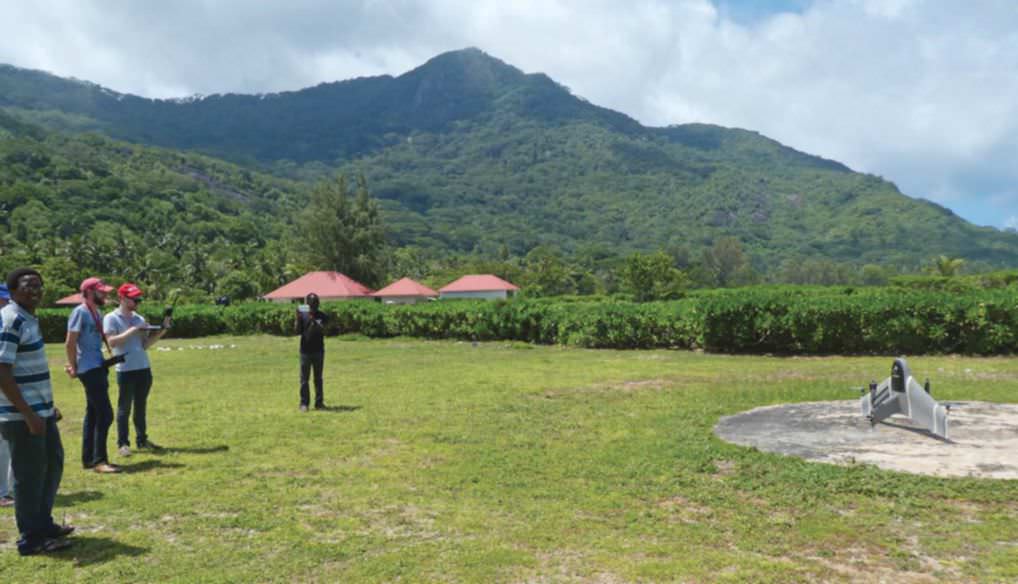
“We used a senseFly eBee Plus RTK drone with a S.O.D.A. [SensorOptimised for Drone Application] camera. To plan the mission, we used eMotion, the planning software from senseFly, which is capable of designing corridor-mapping missions following SRTM [shuttle radar topography mapping] DTMs [digital terrain models].

This story is from the July/ August 2018 edition of RotorDrone.
Subscribe to Magzter GOLD to access thousands of curated premium stories, and 10,000+ magazines and newspapers.
Already a subscriber? Sign In
MORE STORIES FROM RotorDrone

RotorDrone
Windracers Mail Delivery
With its partner Windracers Ltd., Royal Mail has become the first UK parcel carrier to deliver mail to a UK island in a 70-mile, beyond-line-of-sight, autonomous flight to the Scilly Isles. Tasked to better connect the islands’ remote communities, a consortium including Royal Mail, Windracers Ltd., DronePrep, University of Southampton, Excalibur Healthcare Services, and Consortiq Limited is funded by UK Research and Innovation.
1 mins
August/ September 2021

RotorDrone
Counting Penguins
Counting penguins is harder than it sounds. With freezing rain, snow, and chilling winds that limit the flight windows for the surveys, it takes scientists using three full days to map the location of 300,000 nesting pairs of Adélie penguins on Antarctica’s Cape Crozier.
2 mins
August/ September 2021

RotorDrone
A Drone Double Play
Beach cleanup and a historic bridge
13 mins
August/ September 2021

RotorDrone
Understanding Aviation Sectional Charts
Signs and symbols every remote pilot needs to know
10 mins
August/ September 2021

RotorDrone
10 TOP JOBS
Fields where drones are taking off!
17 mins
August/ September 2021

RotorDrone
AUTONOMOUS RESUPPLY IN A CONGESTED BATTLESPACE
Can autonomous drones deliver supplies to troops in an active firefight? DroneUp recently partnered with a North Atlantic Treaty Organization (NATO) Allied Command Transformation (ACT) Joint Force Development (JFD) exercise to find out.
3 mins
February/ March 2021

RotorDrone
IMPROVE YOUR DRONE PHOTOGRAPHY
10 must-know Lightroom tips
12 mins
February/ March 2021
RotorDrone
UAS TRAFFIC MANAGEMENT The Key to the Future of Drones
In 2012, Congress passed the FAA Modernization and Reform Act, which established a deadline for the agency: achieve full integration of drones into the airspace by 2015. As the calendar rolls over into 2021, this begs an obvious question: “Are we there yet?”
28 mins
February/ March 2021
RotorDrone
FLYING FOR A LIVING
A professional UAS operator on what it takes to be successful
6 mins
February/ March 2021
RotorDrone
ON THE WING
This bird-like drone is incredibly agile and efficient
2 mins
February/ March 2021
Translate
Change font size