
Go Unlimited with Magzter GOLD
Get unlimited access to 10,000+ magazines, newspapers and Premium stories for just
Try GOLD - Free
Tour de California
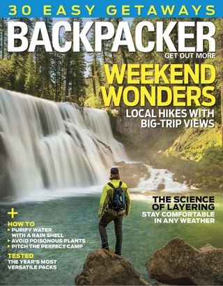
Backpacker
|May 2017
Walk from the coast into the last of the Golden State’s grasslands by way of a lost route.

I UNFOLD A TOPO MAP to scope out two clearly distinguished mountain ranges. To the southwest, the Caliente Range rises more than 5,000 feet, and to the east, the Temblor Range more than 4,000 feet. Between them is a broad, 50-mile swath of grasslands, the last of its kind in California’s Central Valley. No backcountry trails spiderweb through its interior, just one gravel road bisects the area, and those two ranges effectively block it off from, well, everyone. But in the bottom-left corner, on the edge of some old maps—not all—there’s a squiggly, dotted line that seems to lead into the Calientes before fizzling out just before the Carrizo Plain National Monument.
For years it’s intrigued me. If that little, unnamed trail connects the Cuyama River valley to the Carrizo, then you could thru-hike from the coast to California’s Serengeti. It’d require a little road walking, but you could move from seaside bluffs through coastal mountains and across seldom-visited valleys and into grasslands—it’d be like an ecological tour of California.
This story is from the May 2017 edition of Backpacker.
Subscribe to Magzter GOLD to access thousands of curated premium stories, and 10,000+ magazines and newspapers.
Already a subscriber? Sign In
MORE STORIES FROM Backpacker

Backpacker
IN THE FOOTSTEPS OF HORROR
CANADA’S MOST REVERED BACKPACKING TRAIL WAS BORN OUT OF A GHASTLY MISFORTUNE
12 mins
Fall 2022

Backpacker
TRUE NORTH
In pictures, Greenland's backcountry ski terrain looks spectacular. In person? It's even better.
8 mins
Fall 2022

Backpacker
WHEN THE FOREST IS AN ESCAPE
The Outdoors Is Powerful Medicine And The Refugee Women's Network Is Helping Displaced Hikers Get Back To It
14 mins
Fall 2022

Backpacker
The Gear that Changed Backpacking Forever
Trend-setters and trailblazers from the last 50 years
21 mins
Fall 2022

Backpacker
Timeless Adventures
In celebration of 50 years of trail beta and inspiration, we look back on our favorite spots through the moments we chose to capture.
3 mins
Fall 2022

Backpacker
Let The Rivers Run Free
A set of 10 bills currently in Congress will protect 7,000 miles of American waterways— if they pass.
1 mins
Summer 2022

Backpacker
Thru-Hiking, Canadian Style
When the pandemic shut down my plans to hike Europe, I found a world-class trail right on my doorstep.
5 mins
Summer 2022

Backpacker
Training Station
There's a great new wearable for every kind of athletic goal
2 mins
Summer 2022

Backpacker
CBD for Your Pain
Everyone feels the hurt as we age, but CBD can help you deal with it.
4 mins
Summer 2022

Backpacker
Home Base
These shelters score major comfort points
2 mins
Summer 2022
Translate
Change font size