Gå ubegrenset med Magzter GOLD
Få ubegrenset tilgang til over 9000 magasiner, aviser og premiumhistorier for bare
Prøve GULL - Gratis
Dynamic City Planning Through Advanced GIS Capability
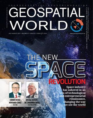
Geospatial World
|July-August 2017
Accurate spatial data is facilitating community development and planning for a smart city
-

Porirua is located on New Zealand’s North Island and is one of the four cities that constitute the metropolitan area of Wellington, the nation’s capital. Porirua City Council (PCC) is the local government agency servicing Porirua and its 55,000 residents.
PCC, in consultation with all its relevant stakeholders, determined a number of strategic priorities for Porirua from which several long-term goals were established. To assist with reaching these goals, PCC’s long-term plan for 2015-25 incorporates a significant investment in new infrastructure and city centre development.
AAM New Zealand (AAM NZ), having worked with PCC for many years in helping improve their Geographic Information System (GIS) and 3D capabilities, were commissioned to provide an accurate, accessible and interactive 3D city map of Porirua. An accurate, up-to-date 3D city map is an integral component for smart city planning, essential to carrying out PCC’s long-term development plans.
The Challenge
Denne historien er fra July-August 2017-utgaven av Geospatial World.
Abonner på Magzter GOLD for å få tilgang til tusenvis av kuraterte premiumhistorier og over 9000 magasiner og aviser.
Allerede abonnent? Logg på
FLERE HISTORIER FRA Geospatial World

Geospatial World
Advanced Image And Signal Processing To Affordable Launch Systems: The Excitement Continues
Space has once again become the “new frontier” with capabilities such as in-orbit satellite servicing and in-orbit assembly incessantly challenging the human mind. Intriguing geospatial innovations have blurred the difference between reality and science-fiction. Such developments are exciting and encouraging, MDA CEO Howard Lance tells in an exclusive interview
5 mins
July-August 2017

Geospatial World
40 Years Of Disruptive Innovation In 3D
40 Years Of Disruptive Innovation In 3D
4 mins
July-August 2017

Geospatial World
Cleaning Up Space Debris
A spacecraft thruster that fuels itself by eating space junks is all set to take off with the Airbus Bartolomeo mission.
4 mins
July-August 2017

Geospatial World
Newest In The Self-driving Cars Mix- Rental Companies
With numerous talks about how autonomous vehicles are going to transform the transportation industry, rental car companies are making sure they don’t lag behind.
3 mins
July-August 2017

Geospatial World
Mapping Sanitation
Hexagon Geospatial’s technology is helping an Indian city resolve its poor sanitation and provide a better life to the less affluent communities.
3 mins
July-August 2017

Geospatial World
How Satellites Are Rebooting Building Design
Today’s electromagnetic and earth observation systems are propelling a future-habitats’ design movement that could be named Astrospatial Architecture.
14 mins
July-August 2017
Geospatial World
Luciad's Smart City
Solution Makes Real Time Data Visualization Easy
2 mins
September-October 2017
Geospatial World
Satellite Imagery+Crop Insurance=Small Holder Farmer's Gain
Satellite intelligence is enriching new insurance products aimed at helping India's smallholders to withstand climate shocks
5 mins
September-October 2017

Geospatial World
He Rocked the Mapping World
THE HARDER THE STRUGGLE, THE more glorious the triumph. But not many people have the courage to persevere in the face of failures.
5 mins
January 2017

Geospatial World
Rolling in the Deep
WHEN IT COMES TO choosing a career path, India has a long tradition of following the family practise. It is pretty common to see a doctor’s son taking up medicine or a chartered accountant’s daughter joining her father’s firm. So, when the son of the Dean of the city’s medical college and the grandson of the state’s most prominent physician decided to break the family tradition, quite a few eyebrows were raised.
5 mins
January/February 2017
Translate
Change font size