Magzter GOLDで無制限に
10,000以上の雑誌、新聞、プレミアム記事に無制限にアクセスできます。
試す 金 - 無料
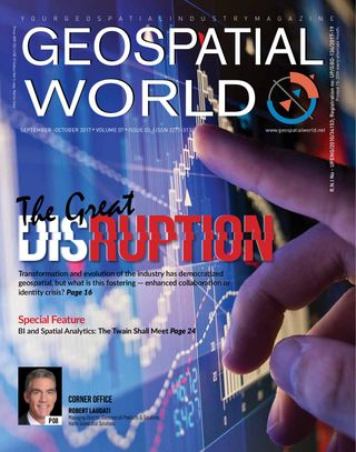
Satellite Imagery+Crop Insurance=Small Holder Farmer's Gain
Geospatial World
|September-October 2017
Satellite intelligence is enriching new insurance products aimed at helping India's smallholders to withstand climate shocks

August is usually a tense time for farmers in Bihar, India. Having sown crops in July, they eagerly await the arrival of rains to sustain them. But Bihar is a flood-prone state. All too often, heavy rains cause floods that wash away crops, leaving farmers with no food and no produce to sell to earn a living.
This year, however, more than 200 of Bihar’s farming households will be more relaxed. They are covered for flood damage to their crops by a pilot Index-Based Flood Insurance (IBFI) scheme launched by the International Water Management Institute (IWMI), with funding from the CGIAR’s Climate Change, Agriculture and Food Security (CCAFS) and Water, Land and Ecosystems (WLE) programs. If the floodwaters are sufficiently extensive, the farmers will receive compensation.
The initiative is part of the efforts by IWMI to use the latest remote sensing data, Geographical Information System (GIS) technology and computer modeling to benefit poor and marginalized farmers. The approach called as AgRISE (Agricultural Remote sensing Insurance for Security and Equity) seeks to provide all farmers, no matter how small, with the security that insurance can provide.
Improvements in agricultural productivity in developing countries are thought to play a key role in reducing poverty. Unfortunately, farming outputs remain poorly measured throughout much of the world, hampering efforts to evaluate and target productivity-enhancing interventions. By using high-resolution satellite imagery, together with field data collected from thousands of smallholder plots in India, IWMI has been able to not only estimate and understand yield variation at the field scale over large areas, but also monitor flooding. This data has helped to develop various insurance products to safeguard farmers’ outputs.
Developing the product
このストーリーは、Geospatial World の September-October 2017 版からのものです。
Magzter GOLD を購読すると、厳選された何千ものプレミアム記事や、10,000 以上の雑誌や新聞にアクセスできます。
すでに購読者ですか? サインイン
Geospatial World からのその他のストーリー

Geospatial World
Mapping A Sustainable Future
How open data is helping Nepal to commercialize agriculture.
5 mins
August 2016

Geospatial World
Open Data For Sustainable Development
Open data is an absolute precursor to meet the UN’s Sustainable Development Goals, believes Barbara Ryan, Director, Group on Earth Observations (GEO) Secretariat in Geneva.
5 mins
August 2016

Geospatial World
Forest Watch
Hexagon Geospatial’s technologies are helping an Indian state maintain the ecological balance in an area of over 77,000 sq km.
3 mins
December 2016

Geospatial World
He Rocked the Mapping World
THE HARDER THE STRUGGLE, THE more glorious the triumph. But not many people have the courage to persevere in the face of failures.
5 mins
January 2017

Geospatial World
Rolling in the Deep
WHEN IT COMES TO choosing a career path, India has a long tradition of following the family practise. It is pretty common to see a doctor’s son taking up medicine or a chartered accountant’s daughter joining her father’s firm. So, when the son of the Dean of the city’s medical college and the grandson of the state’s most prominent physician decided to break the family tradition, quite a few eyebrows were raised.
5 mins
January/February 2017

Geospatial World
How Mr. GPS Changed the World
HE IS NOT A BUSINESSMAN. HE IS NOT A DREAMER.
5 mins
January/February 2017

Geospatial World
The Internet Of Things Is Now Becoming Internet Of Everything
Data will only be useful if it is understandable and it will only be understandable and meaningful if it contains the right information, believes Marc Melviez, CEO, Luciad.
5 mins
March 2017

Geospatial World
How An Indian Startup Trumped US
As Donald Trump became the 45th president of the United of States of America defeating Hillary Clinton, his campaign not only defined expectations and conventions at every turn, but also proved all predictions wrong. All but one!
4 mins
March 2017

Geospatial World
Future With AR & VR
Augmented reality is connecting a world of data for people who may not be familiar with GIS . 3D and AR/VR are the next big thing in the GIS industry.
5 mins
March 2017

Geospatial World
Ai Is Nothreat to Jobs It Only Makes Our Life Better
When we see the machines helping mankind without writing explicit software but through learning, just like we humans have learnt – it is totally path-breaking.
3 mins
March 2017
Translate
Change font size