Denemek ALTIN - Özgür
School Atlas - EDITORIAL BOARD
Magzter GOLD ile Sınırsız Olun
Okumak School Atlas sadece bir abonelikle 9.000'den fazla diğer dergi ve gazeteyle birlikte
Kataloğu GörüntüleYalnızca School Atlas dergisine abone olun
İstediğiniz zaman iptal edebilirsiniz.
(Hiçbir Taahhüt Yok) ⓘAbonelikten memnun kalmazsanız, aboneliğin başlangıç tarihinden itibaren 7 gün içinde help@magzter.com adresine e-posta göndererek tam para iadesi alabilirsiniz. Soru sorulmaz - Söz veriyoruz! (Not: Tek sayı satın alımları için geçerli değildir)
Dijital Abonelik
Anında Erişim ⓘMagzter web sitesi, iOS, Android ve Amazon uygulamalarında anında okumaya başlamak için hemen abone olun.
Doğrulanmış Güvenli
ödeme ⓘMagzter, doğrulanmış bir Authorize.Net satıcısıdır. Daha Fazla Bilgi Edinin
Bu sayıda
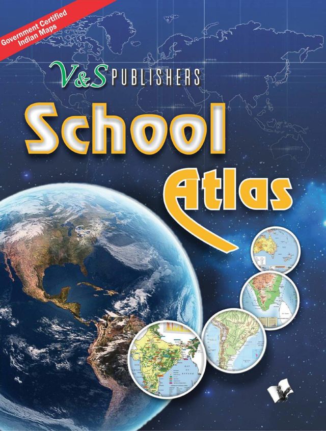
government certified maps of India in colour
School Atlas Description:
"All the maps with regard to India's territorial and coastal boundaries published in this School Atlas have been scrutinised, verified and authenticated by the Survey of India (Department of Science & Technology) in 2016 and Ministry of Defence of the Government of India. This is a guarantee of accuracy.
This atlas contains clear and easy to understand physical and political maps of India, continents, regions and important countries of the world supported by diagrams and charts. The atlas carries extensive coverage of thematic issues such as industry, mineral, agriculture, natural vegetation, climate, power, rail, road, air & sea routes, tourism, heritage, temperature & pressure, environments, whether, human development, metal & non metal, and other important information.
Important features:
Demographic and socio-economic data of India drawn from reliable sources such as Census of India 2011, Statistical Year Book India 2014. Information about the world from authoritative published sources.
Separate political and physical maps of India, continents and polar regions
Comprehensive thematic maps on Indian agriculture & irrigation, food & cash crops, climate, rain, temperature, pressure & winds, metals & non-metals, mining, fuel, industries, transport and other important demographic information
Political, physical and thematic maps of continents , regions and major countries
Important information on Universe, Solar System, Earth, map & map reading
Key information and data about countries of the world and world statistics
The Atlas is ideal for use by school and college students besides all aspirants aiming to take competitive examinations for jobs and admissions for higher studies.
İlgili Başlıklar

Journal for Studies in Management and Planning

Journal of Contradicting Results in Science

Journal of Advanced Research in Medicine - Volume 3 - 2016

Journal of Advanced Research in English & Education - Volume 2 - 2017

Journal of Advanced Research in Ayurveda, Yoga, Unani, Siddha and Homeopathy - Volume 1 - 2014

Journal of Advanced Research in Humanities and Social Science - Volume 3 - 2016

Journal of Advanced Research in Dental and Oral Health - Volume 3 - 2018

Journal of advanced research in psychology & psychotherapy - Volume 1 - 2018

Indian Journal of Youth and Adolescent Health - Volume 6 - 2019

Journal of Advanced Research in Aeronautics and Space Science - Volume 3 - 2016

Journal of Advanced Research in Medical Science and Technology - Volume 1 - 2014

Journal of Advanced Research in Medicine - Volume 2 - 2015

Journal of Advanced Research in English & Education - Volume 3 - 2018

Journal of Advanced Research in English & Education - Volume 4 - 2019

International Journal of Healthcare Education & Medical Informatics - Volume 2 - 2015

Journal of Advanced Research in Production and Industrial Engineering Volume 4 2017

Journal of Advanced Research in Civil and Environmental Engineering - Volume 2 - 2015

Journal of Advanced Research in Ayurveda, Yoga, Unani, Siddha and Homeopathy - Volume 4 - 2017

Journal of advanced research in psychology & psychotherapy - Volume 2 - 2019

International Journal of Law, Human Rights and Constitutional Studies - Volume 2 - 2015

Journal of Advanced Research in Dental and Oral Health - Volume 1 - 2016

Epidemiology International - Volume 3 - 2018

Journal of Advanced Research in Ayurveda, Yoga, Unani, Siddha and Homeopathy - Volume 3 - 2016

Journal of Advanced Research in Ayurveda, Yoga, Unani, Siddha and Homeopathy - Volume 5 - 2018

Journal of Advanced Research in Manufacturing, Material Science&Metallurgical Engineering Vol 1 2014

Journal of Advanced Research in Humanities and Social Science - Volume 4 - 2017

Journal Communicable Diseases - Volume 48 - 2016

Journal of Advanced Research in Aeronautics and Space Science - Volume 1 - 2014

Journal of Advanced Research in Ayurveda, Yoga, Unani, Siddha and Homeopathy - Volume 2 - 2015
 - Volume 5 -2019")
Recent Advances in Pathology & Laboratory Medicine (RAPL) - Volume 5 -2019